SEVERE STORM PROGRAM SCHEDULED FOR OCTOBER 28, 2019
Storm observing, reporting procedures, and safety to be emphasized
The fall severe weather season is approaching. Are you ready for whatever is in store? Do you
have a severe weather plan at your home and your workplace? Can you recognize the clues that
suggest large hail, flash flooding, or a tornado is possible? Do you want to become part of the
severe weather warning system in your county?
As part of its area-wide weather preparedness campaign, the National Weather Service in
Memphis will answer these and many other questions at the Skywarn storm spotter training
program on Monday, October 28, from 6:30 to 8:30 PM. The program will be in Fulton at the
Benjamin Fine Arts Auditorium on Itawamba Community College’s Fulton Campus, and is held
in partnership with Itawamba County ARES and Itawamba County Emergency Management.
The program will discuss thunderstorm formation, severe weather production, and features
associated with severe storms. The presentation will also review tornado formation and
behavior, non-threatening clues which may be mistaken for significant features, and spotter
operations. The program will discuss recommended storm reporting procedures and safety when
storms threaten. The two-hour presentation will be in multimedia format, featuring numerous
pictures of storms and nearly 25 minutes of storm video clips.
The network of trained storm spotters plays an important role in Itawamba County. “We could
not do our job as well as we do without storm spotters”, said Gary Woodall, Warning
Coordination Meteorologist at the Memphis NWS Office. “Real-time reports from storm
spotters play a huge role in our warnings. Radar and satellite are great tools, but they only tell us
part of a storm’s story. The combination of spotter reports and electronic data gives us the best
possible picture of the storms and what’s going on inside them.”
The program is free and open to the public. “By coming to this program, you will learn a lot
about thunderstorms”, Woodall said. “Even if you don’t become an active storm spotter, you
will learn about how storms work and the visual clues to look for when storms are in your area.
This will better prepare yourself and your family for the threats that storms pose”.
The Itawamba County severe weather program is one of 15 that the Memphis NWS Office will
conduct from late September through early November. The National Weather Service in
Memphis provides forecasts, warnings, and weather services for 55 counties across the Mid-
South. For more information on severe weather and the National Weather Service, visit the
Memphis Forecast Office’s website at http://www.weather.gov/Memphis, our Facebook page at
http://www.facebook.com/NWSMemphis, and our Twitter feed at @NWSMemphis.

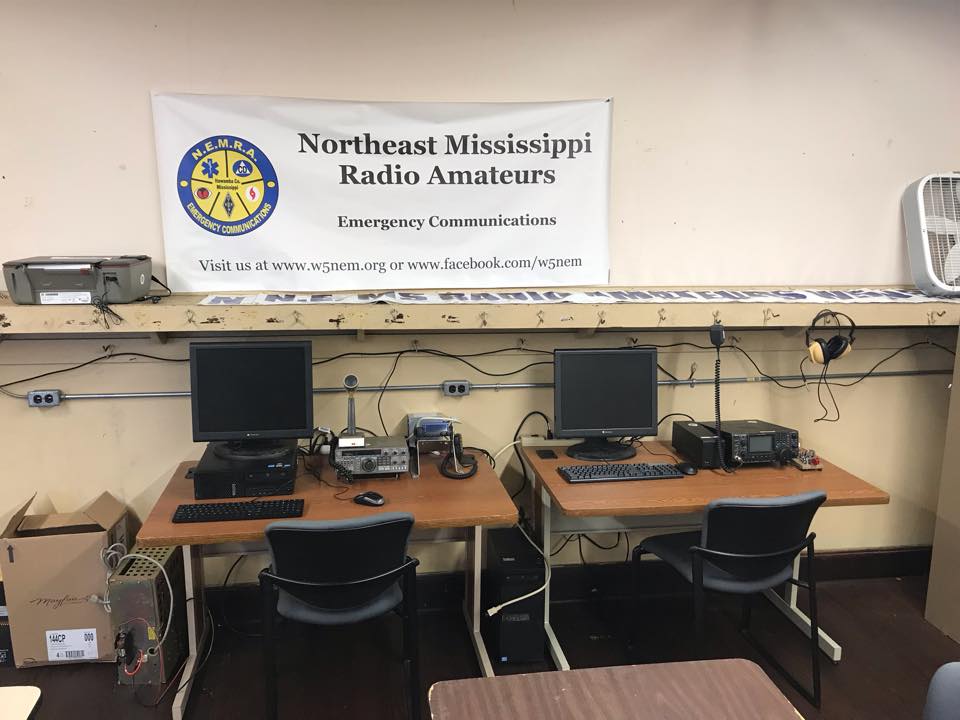
NEMRA, INC - Welcome to the Northeast Mississippi Radio Amateurs Radio Club (NEMRA, INC) serving amateur radio operators and amateur radio enthusiast in the North Mississippi area. We meet the second Tuesday of each month at 6:30 PM at the Old Fulton Grammar School; 603 S Cummings St; Fulton, MS. Talk in 146.520Mhz. NEMRA.INC@GMAIL.COM * http://www.w5nem.org
Local Repeaters
| Local Repeaters | ||
|---|---|---|
| 145.490 (+) 141.3 - Tupelo K5VGK | 147.075 (+) 103.5 - Tupelo W5NEM | 145.450 (-) 192.8 - Fulton WX5P |
| 444.950 (+) DSTAR - Tupelo N5VGK | 147.240 (+) 100 - Tupelo K5TUP | 443.200 (+) DMR - Amory AD5T | 146.940 (-) 192.8 - Amory KB5DWX | 145.150 (-) 156.7 FUSION - Guntown WJ5D |
Subscribe to:
Post Comments (Atom)

No comments:
Post a Comment